Categories in Lampe, Missouri
Car rentalChurchesNon-Profit OrganizationConstruction of buildingsConstruction of housesContractorGeneral contractorsHVAC ContractorInterior Construction ContractorResidential BuildingEntertainment ProviderBarbecue RestaurantRestaurantsHair SalonBusiness to Business ServiceConsulting & Advisory ServicesManagement Consultant FirmPressure Washing ServiceServices for IndustryResidential Property RentalsCampgroundMarinaPublic parksHotels and motelsLodgingResortVilla
Industries
Business Distribution by Industry in Lampe, Missouri
| Industry Description | Number of Establishments | Average Age of Business |
|---|---|---|
| Other accommodation | 19 | 33 years |
| Campgrounds | 12 | — |
| Construction of buildings | 12 | 32 years |
| Restaurants | 11 | — |
| Religion | 9 | — |
| Car repair | 8 | — |
| Shopping | 6 | — |
| General contractors | 6 | — |
| Real estate | 6 | 23 years |
| Warehousing and storage | 5 | — |
| Sporting goods | 5 | 38 years |
| Sports and recreation | 5 | — |
Map of Lampe, Missouri
Interactive Map
Price Distribution
Business distribution by price for Lampe, Missouri
Recent Nearby Earthquakes
Magnitude 3.0 and greater
| Date▼ | Time↕ | Magnitude↕ | Distance↕ | Depth↕ | Location↕ | Link |
|---|---|---|---|---|---|---|
| 6/11/17 | 12:40 PM | 3.6 | 45.3 km | 5,870 m | 19km NNE of Harrison, Arkansas | usgs.gov |
| 9/7/07 | 10:40 AM | 3.1 | 45.8 km | 0 m | 3km W of Harrison, Arkansas | usgs.gov |
| 6/27/00 | 1:28 AM | 3.4 | 99.2 km | 0 m | 15km WSW of Marshall, Arkansas | usgs.gov |
| 9/6/85 | 10:17 PM | 3.3 | 87.9 km | 2,000 m | 22km SSE of Jasper, Arkansas | usgs.gov |
Source: U.S. Geological Survey (USGS)
Lampe, Missouri
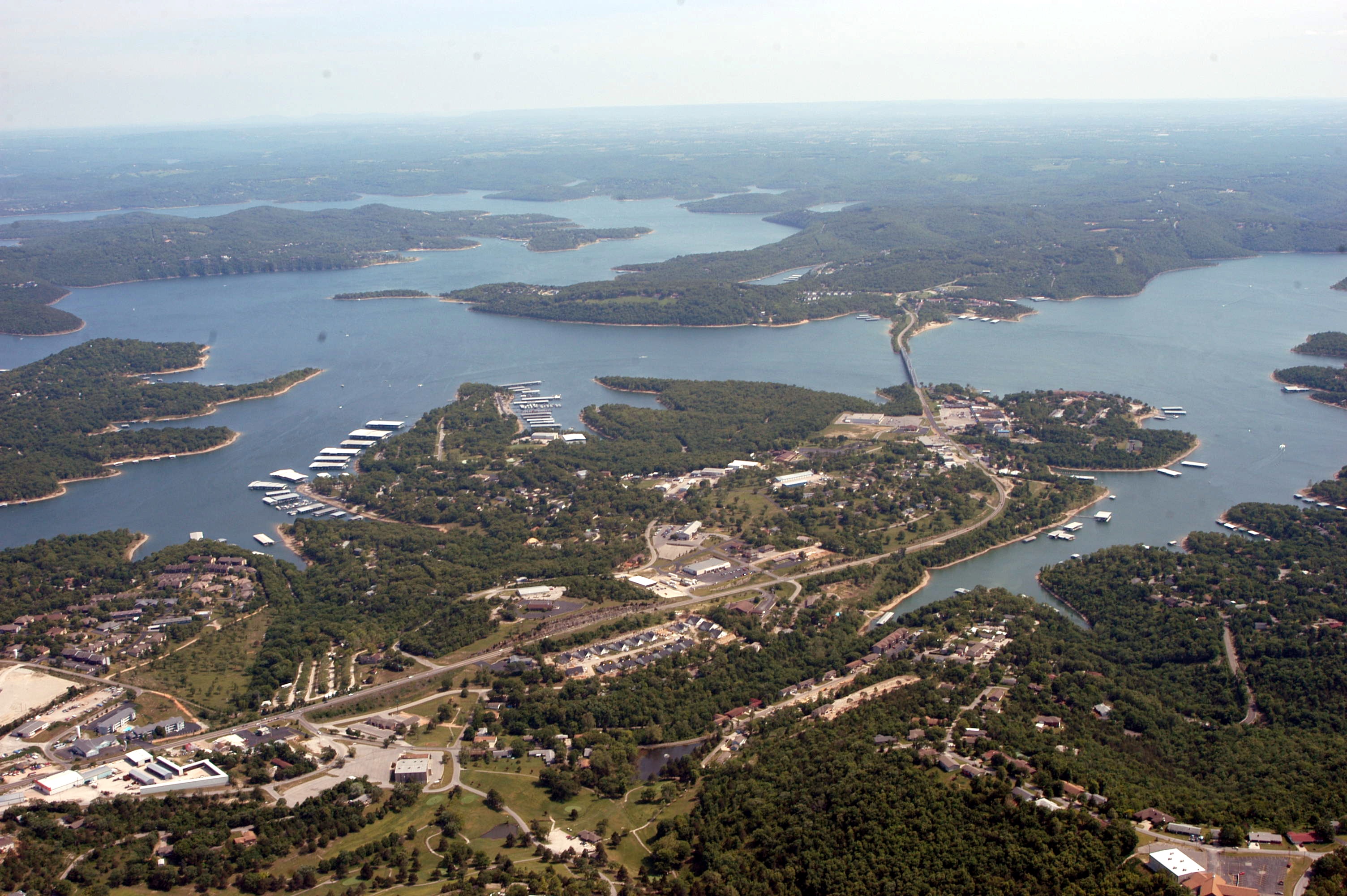
Lampe is an unincorporated community in southern Stone County, Missouri, United States. It is located on Route 13 south of Table Rock Lake. community is part of the Branson, Missouri Micropolitan Statistical Area.
Lampe, Missouri Wikipedia Page
About Our Data
The data on this page is estimated using a number of publicly available tools and resources. It is provided without warranty, and could contain inaccuracies. Use at your own risk.