Industries
Business Distribution by Industry in Supe Puerto
| Industry Description | Number of Establishments |
|---|---|
| Restaurants | 27 |
| Churches | 11 |
| Grocery stores and supermarkets | 10 |
| Hardware store | 7 |
| Shopping | 6 |
| Stadiums and arenas | 5 |
| Museums | 5 |
| Hotels and motels | 5 |
| Other accommodation | 5 |
Supe Puerto Facts
| Local Time | |
| Timezone | Peru Standard Time |
| Lat & Lng | -10.80135, -77.74333 |
| Postal Codes | 15162 |
Map of Supe Puerto
Interactive Map
Recent Nearby Earthquakes
Magnitude 3.0 and greater
| Date▼ | Time↕ | Magnitude↕ | Distance↕ | Depth↕ | Location↕ | Link |
|---|---|---|---|---|---|---|
| 8/13/19 | 3:50 PM | 4.9 | 83.4 km | 14,880 m | 66km SW of La Union, Peru | usgs.gov |
| 2/7/19 | 9:56 PM | 4.9 | 85.6 km | 40,460 m | 74km W of Paramonga, Peru | usgs.gov |
| 1/7/19 | 5:52 AM | 4.6 | 49.6 km | 62,280 m | 35km W of Paramonga, Peru | usgs.gov |
| 9/27/18 | 10:00 PM | 4.7 | 65 km | 65,209 m | 41km SW of Huacho, Peru | usgs.gov |
| 9/8/18 | 8:28 AM | 4.3 | 78.1 km | 52,840 m | 66km W of Paramonga, Peru | usgs.gov |
| 5/22/18 | 1:08 PM | 4.9 | 30.3 km | 66,250 m | 13km WSW of Vegueta, Peru | usgs.gov |
| 4/7/18 | 8:15 PM | 4.8 | 71.8 km | 51,350 m | 67km WSW of Paramonga, Peru | usgs.gov |
| 12/25/17 | 2:17 AM | 4.2 | 56.9 km | 78,640 m | 23km SSW of Huacho, Peru | usgs.gov |
| 8/3/17 | 11:17 PM | 4.8 | 46.1 km | 58,200 m | 32km W of Paramonga, Peru | usgs.gov |
| 7/14/17 | 5:41 PM | 4.4 | 73.7 km | 119,140 m | 36km WSW of Oyon, Peru | usgs.gov |
Source: U.S. Geological Survey (USGS)
Supe Puerto
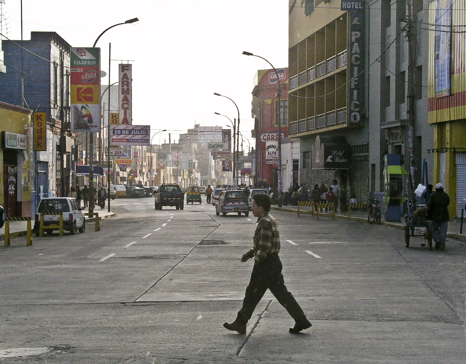
Puerto Supe, officially known as Supe Puerto (to distinguish it from the neighboring district of Supe Pueblo, a separate municipality), is as small harbor town located in the province of Barranca, in the Lima Provincias region, on the coast of Peru. ..
Supe Puerto Wikipedia Page
About Our Data
The data on this page is estimated using a number of publicly available tools and resources. It is provided without warranty, and could contain inaccuracies. Use at your own risk.