Categories in Ōtake, Hiroshima
Gas StationCommercial PrinterHeating Oil SupplierIndustrial Machinery SupplierPaper Products WholesalerClothing storesDry CleanerMobile phone storesBuddhist templeCity or Town HallCommunity CenterPost OfficeReligionShinto ShrineAppliance StoreConstruction of buildingsElectricianHVAC ContractorPainting and paint contractorsRenovation of buildingsLearning CenterTourist AttractionCafesGrocery stores and supermarketsIzakaya RestaurantJapanese restaurantsMeal TakeawayRestaurantsSecurity systems, safes and vaultsAtm'sBanksFinancial InstitutionInvestment BankInvestment ServicePrivate Sector BankPublic Sector BankHospitalsInternistNursing AgencyHairdressersHair SalonApartment BuildingCondominium ComplexReal Estate AgencyConvenience storesShoppingShopping otherPublic parksTransportation ServiceTsukigime Parking Lot
Showing 1-50 of 51
Industries
Business Distribution by Industry in Ōtake, Hiroshima
| Industry Description | Number of Establishments |
|---|---|
| Convenience stores | 28 |
| Public administration | 18 |
| Restaurants | 17 |
| Religion | 15 |
| Construction of buildings | 14 |
| Shopping | 12 |
| Hairdressers | 11 |
| Apartments | 10 |
| Renovation of buildings | 8 |
| Gas station | 7 |
| General chemical wholesale | 7 |
Map of Ōtake, Hiroshima
Interactive Map
Neighborhoods in Ōtake, Hiroshima
Percentage of businesses by neighborhood in Ōtake, Hiroshima
Price Distribution
Business distribution by price for Ōtake, Hiroshima
Recent Nearby Earthquakes
Magnitude 3.0 and greater
| Date▼ | Time↕ | Magnitude↕ | Distance↕ | Depth↕ | Location↕ | Link |
|---|---|---|---|---|---|---|
| 1/8/18 | 8:52 PM | 4.6 | 53.2 km | 58,940 m | 27km S of Yanai, Japan | usgs.gov |
| 8/15/17 | 7:38 PM | 4.5 | 38.7 km | 58,110 m | 11km S of Yanai, Japan | usgs.gov |
| 8/15/16 | 4:36 AM | 4.9 | 85.4 km | 71,680 m | 17km ESE of Kunisaki-shi, Japan | usgs.gov |
| 7/18/16 | 9:22 PM | 4.3 | 84.4 km | 123,400 m | 17km NNE of Bungo-Takada-shi, Japan | usgs.gov |
| 7/1/16 | 5:39 AM | 4.9 | 85.8 km | 78,900 m | 5km SSE of Kunisaki-shi, Japan | usgs.gov |
| 7/24/15 | 8:53 AM | 4.6 | 89.3 km | 44,110 m | 18km WSW of Ozu, Japan | usgs.gov |
| 4/7/15 | 11:51 PM | 4.3 | 73.5 km | 49,710 m | 10km N of Ozu, Japan | usgs.gov |
| 2/3/15 | 5:07 AM | 4.5 | 90.8 km | 52,980 m | 17km E of Ozu, Japan | usgs.gov |
| 11/1/14 | 10:36 AM | 4.5 | 65.6 km | 73,970 m | 22km ENE of Kunisaki-shi, Japan | usgs.gov |
| 10/15/14 | 7:39 PM | 4.1 | 70.8 km | 49,960 m | 9km SSW of Iyo, Japan | usgs.gov |
Source: U.S. Geological Survey (USGS)
Ōtake, Hiroshima
Ōtake (大竹市, ōtake-shi) is a city located in Hiroshima Prefecture, Japan. of March 1, 2012, the city has an estimated population of 28,729, with 12,660 households and a population density of 365.65 persons per km². The total area is 78.57 km².
Ōtake, Hiroshima Wikipedia Page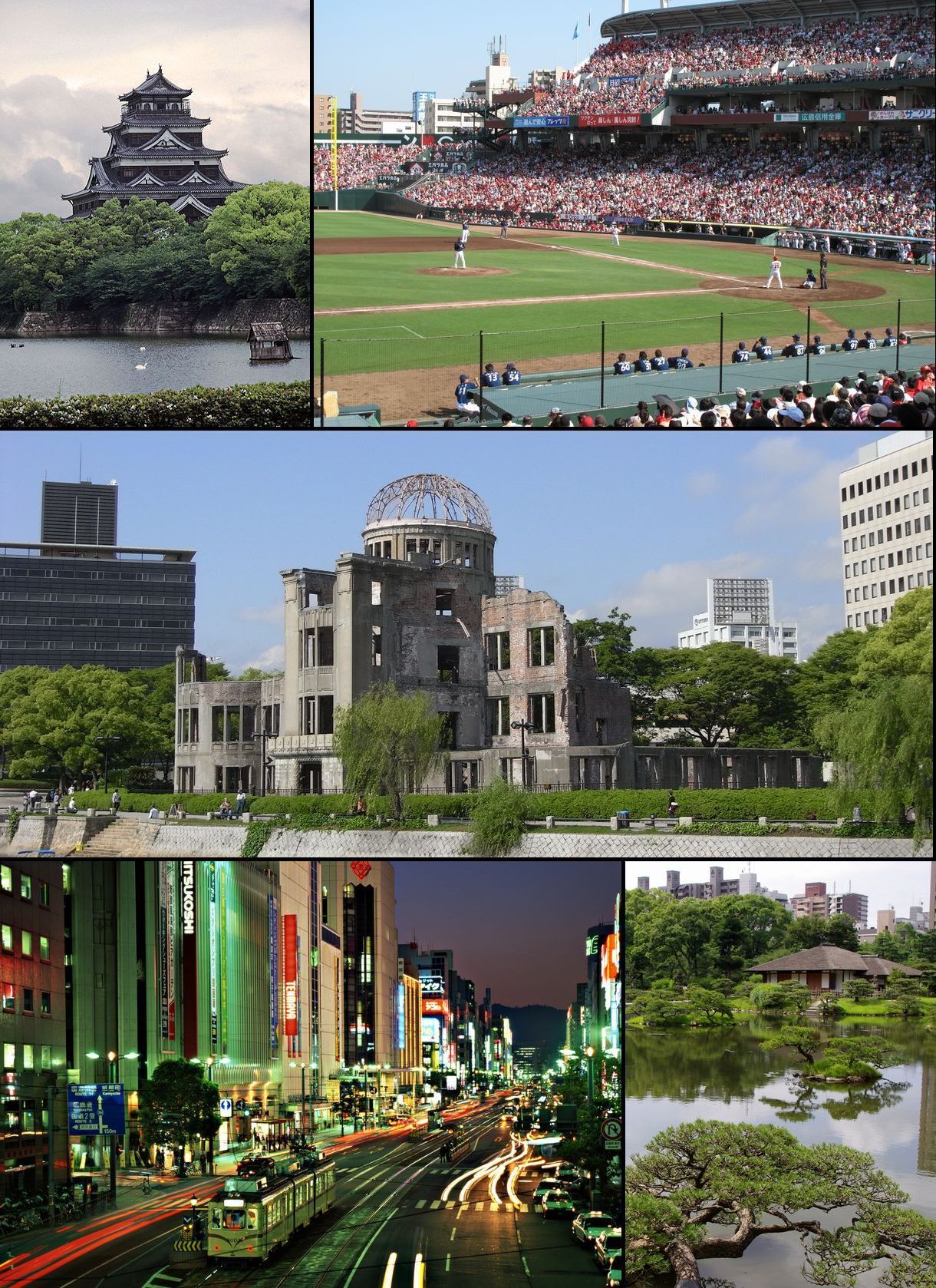

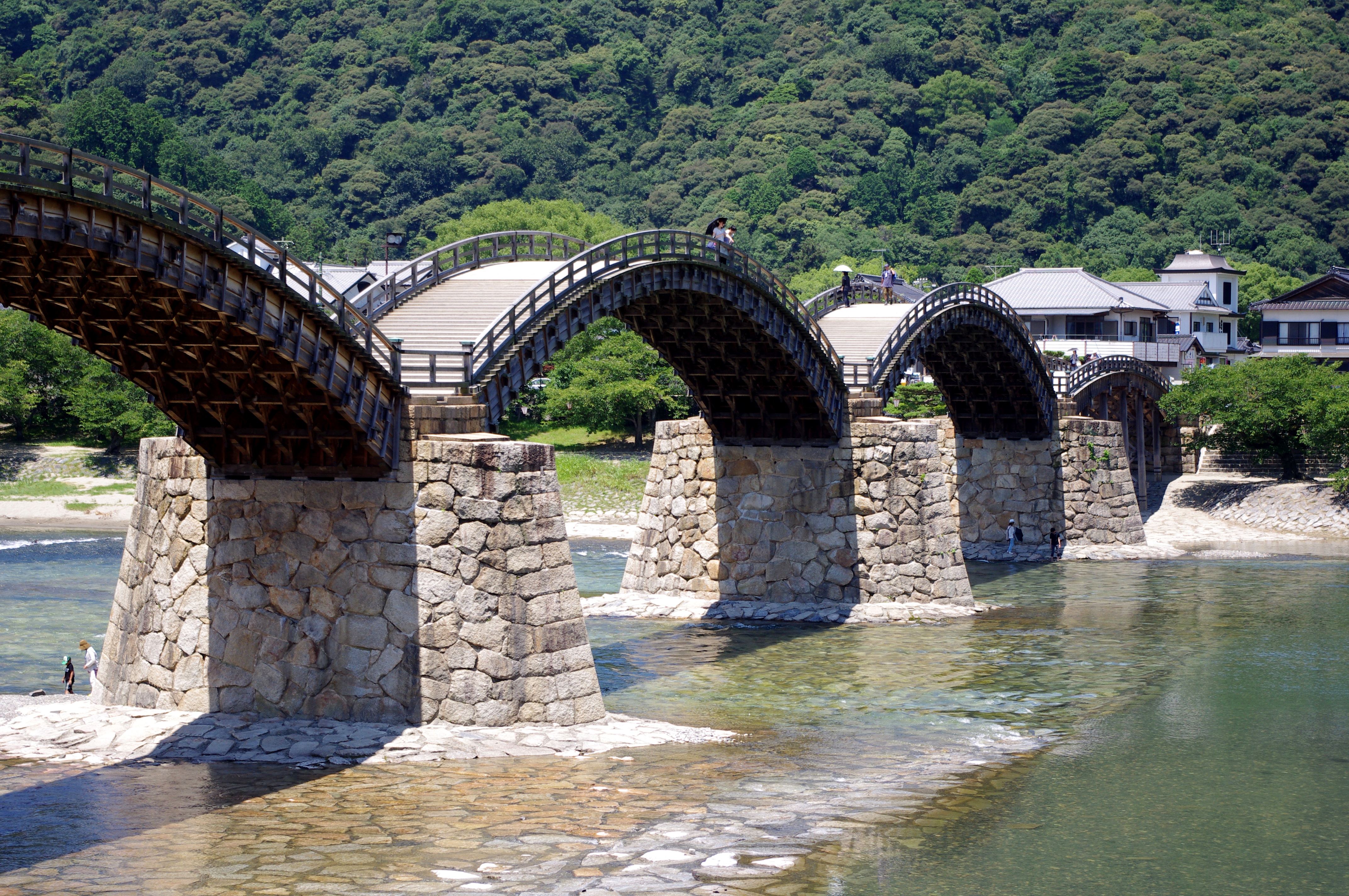
About Our Data
The data on this page is estimated using a number of publicly available tools and resources. It is provided without warranty, and could contain inaccuracies. Use at your own risk.