Categories in Shinmachi
Map of Shinmachi
Interactive Map
Postal Codes
Percentage of businesses by Postal Codes in Shinmachi
Recent Nearby Earthquakes
Magnitude 3.0 and greater
| Date▼ | Time↕ | Magnitude↕ | Distance↕ | Depth↕ | Location↕ | Link |
|---|---|---|---|---|---|---|
| 6/10/19 | 7:30 PM | 4.2 | 39.9 km | 366,200 m | 5km NW of Muko, Japan | usgs.gov |
| 1/28/19 | 3:39 PM | 4.1 | 63.7 km | 421,990 m | 12km SSE of Koya, Japan | usgs.gov |
| 10/27/18 | 11:51 AM | 4.4 | 45.2 km | 68,080 m | 1km SSW of Yoshino-cho, Japan | usgs.gov |
| 7/8/18 | 6:45 AM | 3.8 | 33.5 km | 10,000 m | 4km SSW of Kameoka, Japan | usgs.gov |
| 6/23/18 | 2:08 PM | 3.9 | 24 km | 10,000 m | 2km NE of Hirakata, Japan | usgs.gov |
| 6/18/18 | 10:52 PM | 3.7 | 18.1 km | 10,000 m | 1km ENE of Neyagawa, Japan | usgs.gov |
| 6/18/18 | 3:31 PM | 4.6 | 17.1 km | 10,000 m | 2km NNW of Neyagawa, Japan | usgs.gov |
| 6/17/18 | 10:58 PM | 5.5 | 21.9 km | 10,340 m | 1km NW of Hirakata, Japan | usgs.gov |
| 3/25/16 | 10:20 AM | 4.2 | 49.3 km | 375,700 m | 9km S of Haibara, Japan | usgs.gov |
| 11/24/15 | 4:07 AM | 3.4 | 44.8 km | 10,000 m | 1km SW of Kyoto, Japan | usgs.gov |
Source: U.S. Geological Survey (USGS)
Shinmachi
Shinmachi (新町) was a yūkaku (遊廓、遊郭, pleasure quarter, courtesan's district) in Osaka, built between 1615 and 1623, and operating until its destruction in World War II. It was situated roughly two kilometers southwest of Nakanoshima. Today, it is most..
Shinmachi Wikipedia Page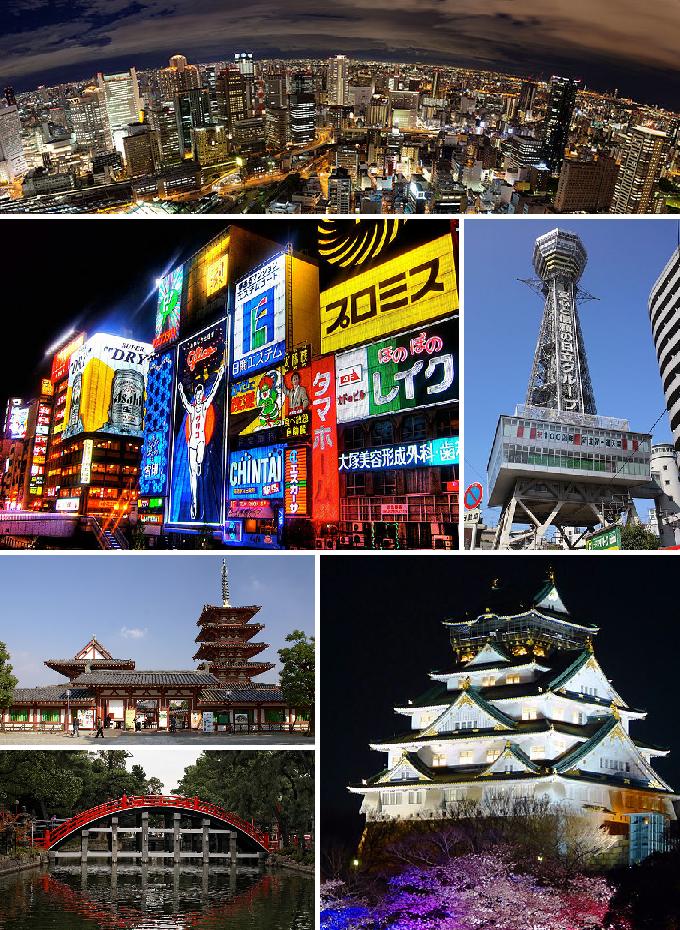

About Our Data
The data on this page is estimated using a number of publicly available tools and resources. It is provided without warranty, and could contain inaccuracies. Use at your own risk.