Industries
Business Distribution by Industry in Kōzaki
| Industry Description | Number of Establishments |
|---|---|
| Religion | 45 |
| Shopping | 17 |
| Other membership organizations | 14 |
| Public administration | 13 |
| Unreachable | 11 |
| Education | 11 |
| Restaurants | 10 |
| Public parks | 8 |
| Hairdressers | 8 |
| Grocery stores and supermarkets | 7 |
| All food and beverage | 6 |
| Gas station | 6 |
| Museums | 5 |
| Tractors and farm equipment | 5 |
| Cemeteries and crematoriums | 5 |
Map of Kōzaki
Interactive Map
Neighborhoods in Kōzaki
Percentage of businesses by neighborhood in Kōzaki
Price Distribution
Business distribution by price for Kōzaki
Recent Nearby Earthquakes
Magnitude 3.0 and greater
| Date▼ | Time↕ | Magnitude↕ | Distance↕ | Depth↕ | Location↕ | Link |
|---|---|---|---|---|---|---|
| 1/18/19 | 12:46 PM | 5.1 | 15.3 km | 49,970 m | 4km SSE of Itako, Japan | usgs.gov |
| 6/7/18 | 5:58 AM | 4.5 | 19.4 km | 50,920 m | 8km N of Sakura, Japan | usgs.gov |
| 10/8/17 | 2:54 PM | 4.6 | 14.4 km | 70,780 m | 5km NNW of Inashiki, Japan | usgs.gov |
| 8/17/17 | 6:44 AM | 4.2 | 15.7 km | 96,820 m | 8km ESE of Narita, Japan | usgs.gov |
| 6/19/17 | 2:42 PM | 4.2 | 18.2 km | 73,430 m | 3km SSE of Ryugasaki, Japan | usgs.gov |
| 5/23/17 | 9:23 AM | 4.5 | 19.4 km | 73,470 m | 1km S of Ryugasaki, Japan | usgs.gov |
| 3/17/17 | 1:00 PM | 4.5 | 10.5 km | 56,390 m | 7km WNW of Itako, Japan | usgs.gov |
| 10/20/16 | 2:49 AM | 5.3 | 13.2 km | 18,910 m | 7km S of Sawara, Japan | usgs.gov |
| 9/4/16 | 4:42 PM | 4.4 | 6.3 km | 87,560 m | 3km WSW of Sawara, Japan | usgs.gov |
| 4/17/16 | 11:34 AM | 4.4 | 18.8 km | 60,150 m | 9km WNW of Narita, Japan | usgs.gov |
Source: U.S. Geological Survey (USGS)
Kōzaki
Kōzaki (神崎町, Kōzaki-machi) is a town located in Katori District, Chiba Prefecture, Japan. As of April 2012, the town had an estimated population of 6,415 and a population density of 323 persons per km2. The total area was 19.85 square kilometres (7.6..
Kōzaki Wikipedia Page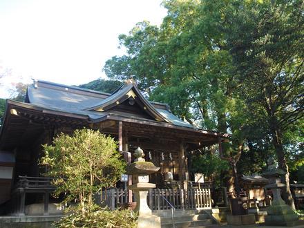


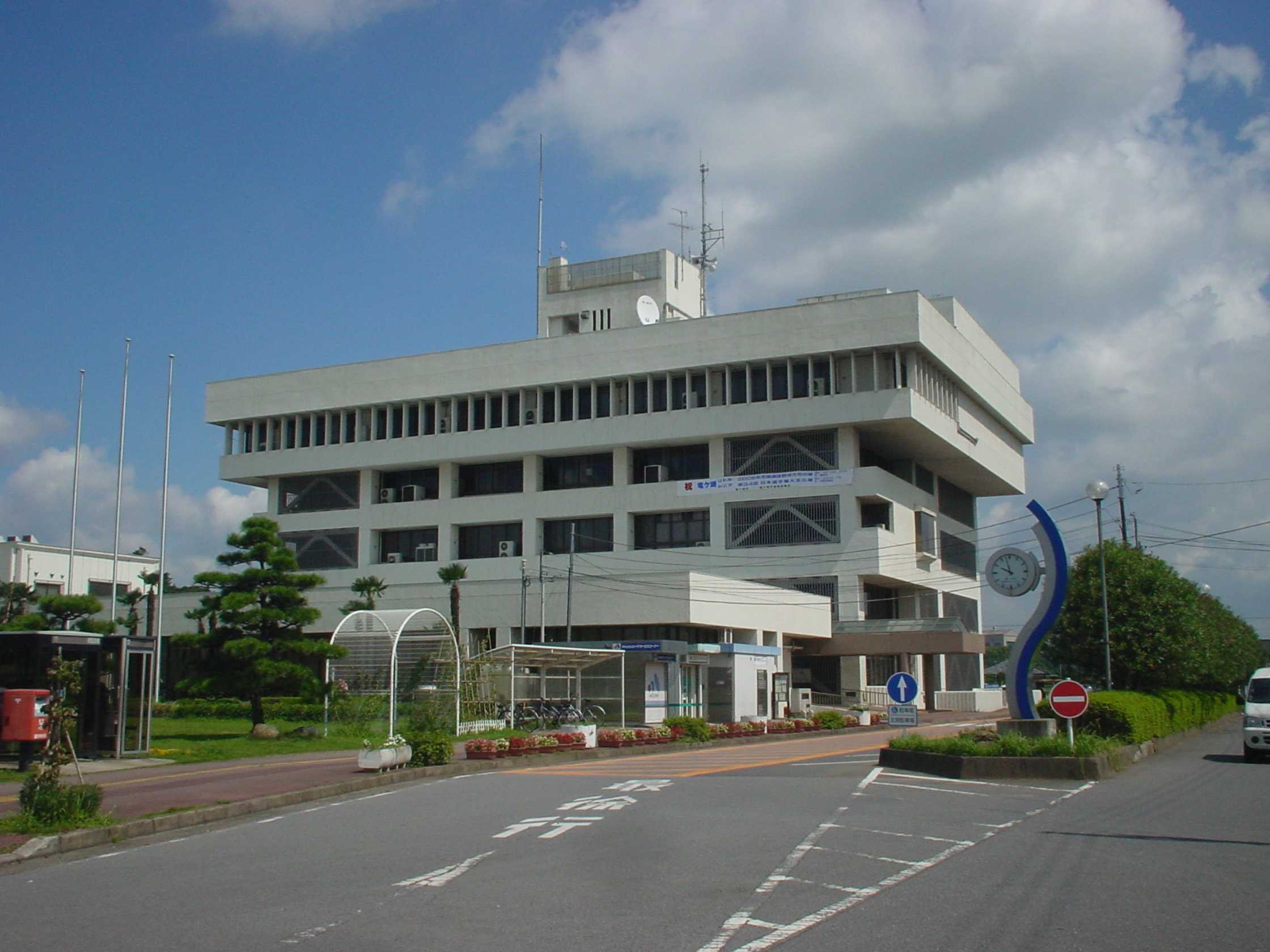
About Our Data
The data on this page is estimated using a number of publicly available tools and resources. It is provided without warranty, and could contain inaccuracies. Use at your own risk.