Categories in Songir
Auto Parts StoreCar repairGas StationMotorcycle ShopChemical PlantFarmingWholesalersClothing storesJewelers and watchesMen's clothingMobile phone storesGovernment OfficeHindu templeMosquesReligionCell phone accessory storeComputer Support and ServicesElectronics Repair ShopElectronics StoreMobile Phone Repair ShopConstruction of buildingsHardware storeHome Goods StoreHousing DevelopmentEducationEducation CenterElementary SchoolHigh SchoolPrimary SchoolPhotography StudioBakeriesBars, pubs and tavernsButcherFamily RestaurantFast food restaurantsFruit and Vegetable StoreGrocery stores and supermarketsIce Cream ShopInternet cafesRestaurantsVegetarian restaurantsFurniture storesTailorFinancial ConsultantHospitalsMedical clinicBarbersHair SalonApartment BuildingApartment Complex
Showing 1-50 of 63
Industries
Business Distribution by Industry in Songir
| Industry Description | Number of Establishments |
|---|---|
| Shopping other | 67 |
| Shopping | 65 |
| Hindu temple | 52 |
| Restaurants | 44 |
| Grocery stores and supermarkets | 38 |
| Hardware store | 23 |
| Clothing stores | 21 |
| Unreachable | 20 |
| Education | 20 |
| Electronics stores | 20 |
| Fast food restaurants | 15 |
| Beauty salons | 15 |
Songir Facts
| Local Time | |
| Timezone | India Standard Time |
| Lat & Lng | 21.08034, 74.78772 |
| Pin Codes | 424309 |
Map of Songir
Interactive Map
Recent Nearby Earthquakes
Magnitude 3.0 and greater
| Date▼ | Time↕ | Magnitude↕ | Distance↕ | Depth↕ | Location↕ | Link |
|---|---|---|---|---|---|---|
| 1/4/09 | 5:20 AM | 4.1 | 79.4 km | 10,000 m | Madhya Pradesh-Maharashtra border region, India | usgs.gov |
Source: U.S. Geological Survey (USGS)
Songir
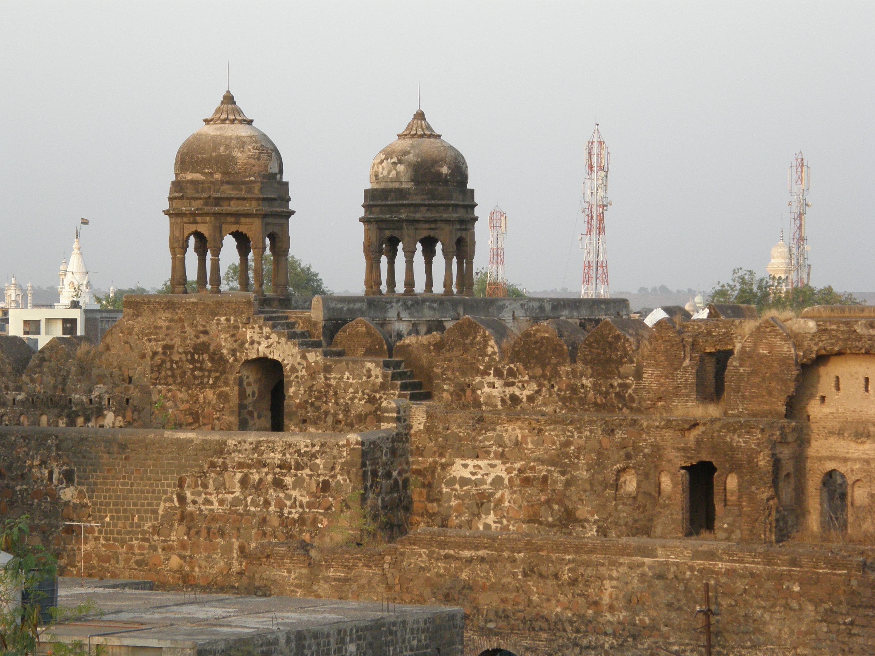
Image= is the largest town in Dhule Taluka, situated on the intersection of National Highway 3 (Mumbai-Agra) and state highway 17 (Ahmedabad). It is the trading hub for around 100 small villages and localities. Songir has been renowned as a largest..
Songir Wikipedia Page


About Our Data
The data on this page is estimated using a number of publicly available tools and resources. It is provided without warranty, and could contain inaccuracies. Use at your own risk.