Categories in Amberpet
Auto Parts StoreCar repairCar Repair and MaintenanceCar WashMechanicTire ShopFarmingFertilizer SupplierMachine WorkshopOrganic FarmWholesalersClothing storesMobile phone storesChurchesCommunity CenterGovernment OfficeHindu templePublic BathroomReligionReligious InstitutionElectronics Repair ShopElectronics StoreConstruction of buildingsHardware storeHome Goods StoreHousing DevelopmentMechanical EngineerCollegeEducationPhotography StudioTourist AttractionBakeriesButcherCheese, dairy and eggsChicken ShopCoffee ShopFast food restaurantsFood CourtFruit and Vegetable StoreGrocery stores and supermarketsInternet cafesRestaurantsTailorAtm'sMedical clinicBeauty salonsOffice supplies and stationery storesApartment BuildingApartment ComplexCondominium Complex
Showing 1-50 of 66
Industries
Business Distribution by Industry in Amberpet
| Industry Description | Number of Establishments |
|---|---|
| Shopping | 47 |
| Real estate | 39 |
| Shopping other | 35 |
| Car repair | 32 |
| Apartments | 29 |
| Travel and transportation | 27 |
| Restaurants | 25 |
| Grocery stores and supermarkets | 24 |
| Electronics stores | 18 |
Amberpet Facts
| Area Codes | 1423 |
| Neighborhoods | Golnaka, Amberpet, Annapurna Nagar, Amberpet |
| Local Time | |
| Timezone | India Standard Time |
| Lat & Lng | 17.39472, 78.51750 |
Map of Amberpet
Interactive Map
Amberpet
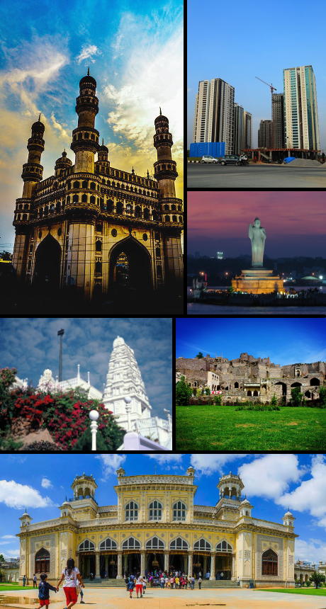
Amberpet is one of the oldest suburbs of Hyderabad, India. Amberpet lies adjacent to the famous Osmania University. Its area stretches from Kachiguda to Ramanthapur in the East, and from Vidyanagar to Azadnagar in the South.
Amberpet Wikipedia Page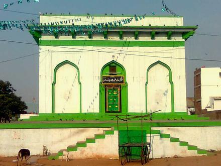


About Our Data
The data on this page is estimated using a number of publicly available tools and resources. It is provided without warranty, and could contain inaccuracies. Use at your own risk.