Categories in Carmel City
Industries
Business Distribution by Industry in Carmel City
| Industry Description | Number of Establishments |
|---|---|
| Restaurants | 9 |
| Buses and trains | 8 |
| Unreachable | 8 |
Carmel City Facts
| Neighborhoods | Daliyat el-Carmel, Ha-Vradim Neighborhood, Vardia, Wadi al-Fash, Bypass Road Zone |
| Local Time | |
| Timezone | Israel Daylight Time |
| Lat & Lng | 32.69383, 35.04686 |
| Postal Codes | 90404 |
Map of Carmel City
Interactive Map
Area Codes
Percentage Area Codes used by businesses in Carmel City
Price Distribution
Business distribution by price for Carmel City
Recent Nearby Earthquakes
Magnitude 3.0 and greater
| Date▼ | Time↕ | Magnitude↕ | Distance↕ | Depth↕ | Location↕ | Link |
|---|---|---|---|---|---|---|
| 7/4/18 | 7:45 PM | 4.7 | 38.9 km | 10,000 m | 5km SE of 'Eilabun, Israel | usgs.gov |
| 7/4/18 | 1:50 AM | 4 | 37.9 km | 10,000 m | 6km SSE of 'Eilabun, Israel | usgs.gov |
| 10/20/13 | 12:54 PM | 3.5 | 52.3 km | 5,000 m | 8km NNE of Tiberias, Israel | usgs.gov |
| 8/7/11 | 8:52 AM | 4.1 | 56 km | 31,000 m | Dead Sea region | usgs.gov |
| 7/10/09 | 6:19 PM | 4 | 73.4 km | 10,000 m | Lebanon - Syria region | usgs.gov |
| 8/13/08 | 6:05 AM | 3.2 | 61 km | 10,000 m | eastern Mediterranean Sea | usgs.gov |
| 7/2/08 | 9:29 AM | 3.1 | 94.1 km | 20,100 m | Lebanon - Syria region | usgs.gov |
| 6/23/08 | 3:45 PM | 3 | 75.2 km | 1,000 m | Lebanon - Syria region | usgs.gov |
| 6/13/08 | 5:28 AM | 4 | 79 km | 1,000 m | Lebanon - Syria region | usgs.gov |
| 6/12/08 | 4:40 PM | 4 | 79.7 km | 5,400 m | Lebanon - Syria region | usgs.gov |
Source: U.S. Geological Survey (USGS)
Carmel City
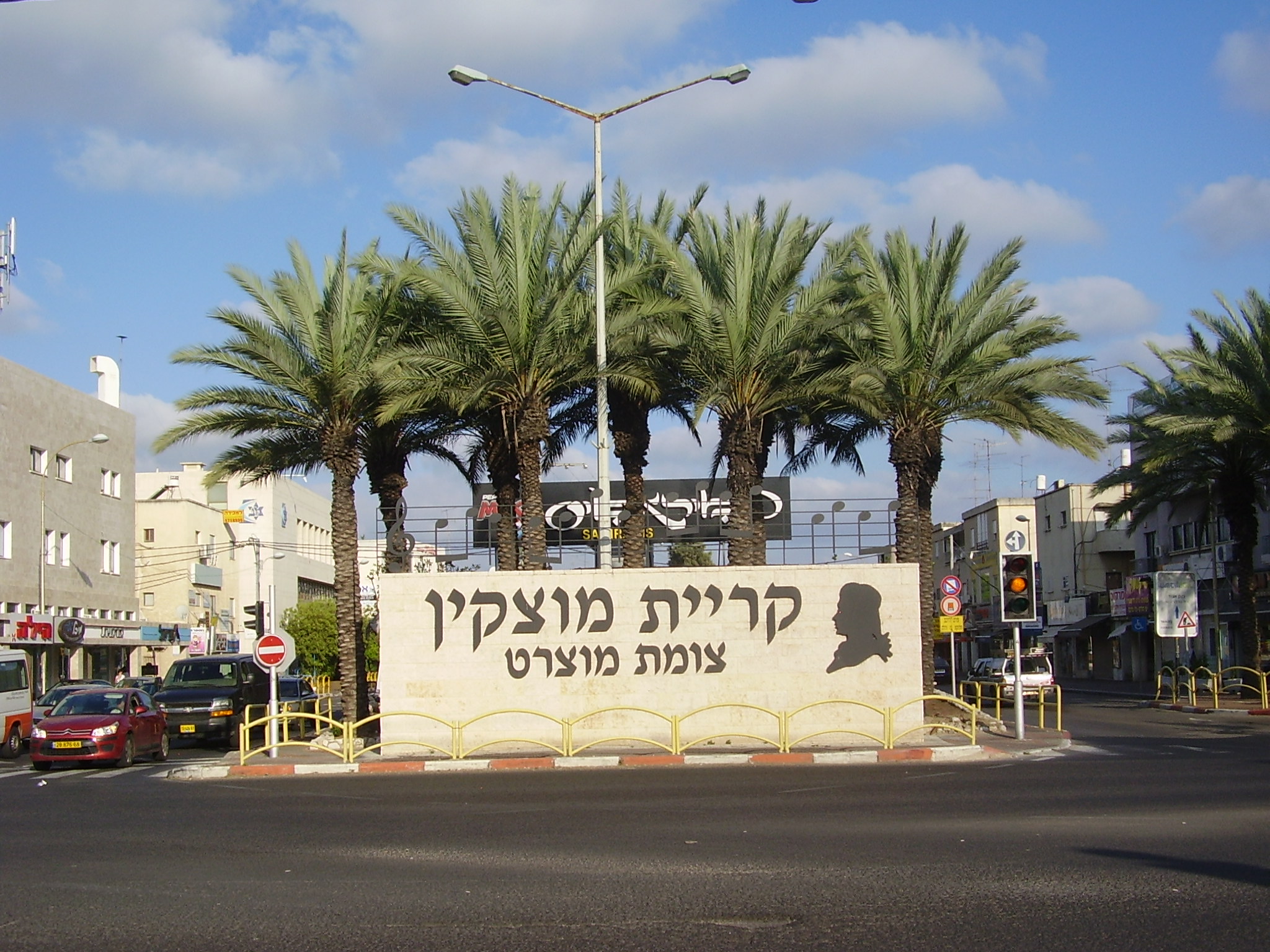
Carmel City (Hebrew: עִיר הַכַּרְמֶל, Ir HaKarmel; Arabic: مدينة الكرمل Madīnat al-Karmel) was a short-lived city in the Haifa District of Israel, named after its location on Mount Carmel.
Carmel City Wikipedia Page

About Our Data
The data on this page is estimated using a number of publicly available tools and resources. It is provided without warranty, and could contain inaccuracies. Use at your own risk.